Because I wanted to go on, I had to get to the other side of the road, which meant again a adrenaline sport.

On the other side of the road, I went on a forest path towards Trojárová. After a few meters I starting to look around where the should be old adit Augustine.
 |
| adit Lower Augustín |
 |
| Heap od adit Upper Augustín |
Above heap I found backfilled adit collar.
 |
| Backfilled adit collar of Upper Augustín |
 |
| Residues portal of adit? |
I ran to the heap, where I looked around, when I noticed a hole in the ground. I came to it carefully and see that it is a shaft to the table Augustine. Shaft was not secure..


I continuing in journey up the hill to the famous adit "Trojárová". Forest path led me to an open area where there are heaps of "Trojárová" adit.
 |
| Heaps of Trojárová adit |
Directly through the heap, flows a stream of mine water.
 |
Above heaps I stay standing surprised, because the mouth of adit , was enclosed years ago with concrete panels and a pile of rubble.
Below the adit was silt washed up from the adit.
And now, I look around I can see modified inlet port is clean, made a mine water discharge.
Normally I do not understand.
 |
| Portal of Trojarová adit |
Tunels of this adit has a length of about 4.5 km. I go peek in, and I see that it's fairly secure.
 |
| Closed entrance tunnel of Trojárova. |
 |
| View to inside the tunnel Trojárová adit. |
Here I took some time off and then went to look for the chimney KHAN - 7, which I've seen years ago.
But when I came to the place, the chimney was already covered with concrete slabs. Given that the depth of the chimney was about 60 meters, it was necessary to done this safety precautions.
Somehow like this, I imagining that should be security old mining workings. In order to see that mined here and still no one comes to the accident. I think that, now be would good, to develop here a nature trail.
I chose a map and I drew the line between adits Nádej, Eduard, Ficher, Augustine Trojárová, through the ridge of the Little Carpathians, and then to the oposite side of the mountain.
I chose a map and I drew the line between adits Nádej, Eduard, Ficher, Augustine Trojárová, through the ridge of the Little Carpathians, and then to the oposite side of the mountain.
In this line still waiting to me three mines of ore circuit ČMELE, and on the other side of mountain, old mines around hill "Mäsiarsky Ostrovec"
About 60 meters above Trojárová adit should be ČMELE I. adit. Next to path I notice first little heaps.
 |
| small heaps near ČMELE I. |
 |
| ČMELE I. |
 |
| ČMELE II. - introductory ditch |

Again I look to the map and I see that about 300 meters above is the last ČMELE III. adit.
I notice a lot of small erosion furrows. The last three weeks it rained enough. The forest, who was on top, was complet chopped down, so the earth can not retain water.
I came to a new forest road. Here I noticed theintroductory ditch if adit ČMELE III. Mouth of the adit was probably destroyed during the construction of forest road.
On the bottom of introductory ditch is seen old timbering of adit.

I notice a lot of small erosion furrows. The last three weeks it rained enough. The forest, who was on top, was complet chopped down, so the earth can not retain water.
I came to a new forest road. Here I noticed theintroductory ditch if adit ČMELE III. Mouth of the adit was probably destroyed during the construction of forest road.
 |
| introductory ditch ČMELE III. |
On the bottom of introductory ditch is seen old timbering of adit.
These three adits were each about 200 meters length. The ČMELE I. and II. was mined pyrite and antimony. The ČMELE III. iron ore is mined.


Finally trail with red mark. I was just below the final climb to the hill Čmelek.
Here I am trying to figure out which direction to go, to the Pernek's mines.
I guess I am old, because orientate according to the GPS, I do not know properly.
I Selected a map and compass. I turn top of map to north, and now I see vats go. From forest paths I don't want any, so I was marching straight through the forest by using compass.
At first I found, a small heap near adit Martin.
I walking around, but the mouth of the adit I can not find. I'll leave it as, and walk down to the adits Upper and Lower Karol.
Already on the top of heap I noticed another heap down. This should will adit Lower Karol, so I was running 200 meters down.
Under the adit, a heap holds water, which created here a small ferric lake.
It was just a lunch time, so I ate some bananas and rest myself.
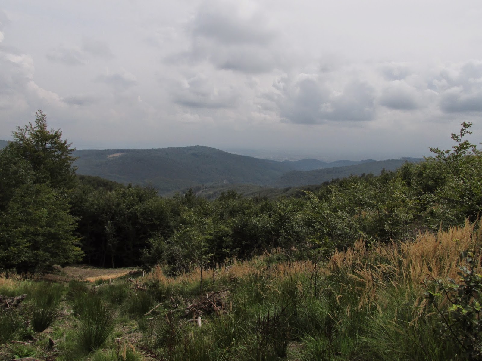
I decided to walk to the ridge until to the red marked walking trail.
In a glade, were opened to me a very nice views:
I decided to walk to the ridge until to the red marked walking trail.
In a glade, were opened to me a very nice views:
Finally trail with red mark. I was just below the final climb to the hill Čmelek.
Here I am trying to figure out which direction to go, to the Pernek's mines.
I guess I am old, because orientate according to the GPS, I do not know properly.
I Selected a map and compass. I turn top of map to north, and now I see vats go. From forest paths I don't want any, so I was marching straight through the forest by using compass.
At first I found, a small heap near adit Martin.
 |
| small heaps near adit Martin |
After 300 meters I see heaps of upper Karol adit.
Because I went from top, I stand above the backfilled adit collar. I look through the introductory ditch to the heap of upper Karol adit. Right next to the introductory ditch is another nameless adit.
From both adits together were mined quite decently big heap.
 |
| view of the introductory ditch and heap of the adit upper Karol. |
Because I went from top, I stand above the backfilled adit collar. I look through the introductory ditch to the heap of upper Karol adit. Right next to the introductory ditch is another nameless adit.
 |
| introductory ditch of nameless adit, right next upper Karol adit |
From both adits together were mined quite decently big heap.
 |
| View from the top of the heap upper Karol |
Already on the top of heap I noticed another heap down. This should will adit Lower Karol, so I was running 200 meters down.
I found there at 3/4 backfilled the adit collar of Lower Karol from which flowing out a strong stream of mining water.
Flowing out mining water, creates wetland.
 |
| backfilled adit collar Lower Karol |
 |
| Flowing out mining water |
 |
| heap of adit Lower Karol |
When I came up here, so I would like to see the adits Valentin and Florian.
They are located in the next valley. Forest road, which bypasses the hill, leads there.
But I did not want bypassing the hill , so I ran up the hill and descended down to the bottom of valley.
Orientation maps according to not disappoint me again, and I ended exactly on adits Valentine and Florian
 |
| adit Valentín |
At first I found the Valentine adit. On bottom of introductory ditch is seen whats as mined here.


A little bit next on me I see heap of adit Florian.
 |
| heap of adit Florián |
Here is a visible amount of mining activities and depressions.
Now I realize how much is actually hours and the last bus from mountain pass Pezinska baba I maybe not prosecuted.
Well I remained nothing but put my fists on nipples and trot to the parking on Pezinska Baba.
A quick glance into the map, and according contour on the map, I considers that this time, I will not go directly, but rather by the forest road.
 |
| Forest road bypasses Mäsiarsky Ostrovec. |
Here I've even heard the incoming storm, so I added to run. I caught a bus barely. I stood in his path (it was 50 m from the stop:-))
As soon as I boarded the bus, started the strong downpour from the storm. So it was ultimately very successful day.
Next time I will go to the saddle below Javorinou and from there to "Krížnica" to look at old mines of village Pernek.
No comments:
Post a Comment