Friday, 31 October 2014

Pyrite mines under the mountain pass Pezinska baba III

Today I drove my son to the floorball training to Modra and I had about an hour and half time, so I turned the car towards to mountain pass Pezinská baba. I want do a quickly look to some adits along the road, which I missed at last time.

I decided to start from Pernek and continue to Pezinok. I drove to the first houses of Pernek where I left the car.


At the hill near the road should be located adit of holy spirit. Lead and silver ores of this adit,  determined the extraction of precious metals. When extracting, the miners even stumbled upon the quartz-carbonate vein containing gold. 

Despite the promising results, bearing was only locally and had a small size.

At the place where the stream flows underneath the road, I went into the forest. I got through nettles and raspberry. A steep slope waiting for me.

Because I did not even know the approximate location of the adit and I did not want to climb up the slope, I tried to look for the access path to the adit.


Even far away, the miners had to have access road to their adit with waggons. 

And really, after a while, I saw something which would could be a road. The road followed the slope and slowly rising upward. 

That could be it, I thinking, and gave the following the route. 

Access road to the Holy Spirit adit.
After a while the climb, I saw visible signs of mining activity:

Small  heaps near adit of Holy spirit

Searching the adit collar failing me. (Pushed me the time so I did not want to be stay here long ) Although this looks like a introductory ditch, but since it is not directed uphill, but the contour, so it will not introductory ditch.


Anyway, I returned to the car. By car, I turned back towards Pezinok. 
I told to I, that I will yet again look at the bus stop of 46th kilometer, because when I was there last time, I was unable to find the "Ryhová" adit.

Looking at known locations, which were quite soaked by heavy rain. I found nothing, then I tried to examine the grove above the adit Hermína. 


After a while, I find the amount of depression and other traces of mining activity. 


Soon I found a sinkhole to the adit. Because at the last survey, I went a whole adit Hermína and I not found any sinkhole, this is had to be a sinkhole into adit "Ryhová". 


Sinkhole to "Ryhová" adit
I Again returned to the car and I went slightly below the quarry to area "Stupy" (stamping-mill). Here I've gone  quite confident because I was here as a young boy. Because I have not been here very long, I was surprised with restored buildings and equestrian center.

The stamping-mill and adit was Owned by businessman Várhegyi Augustine, who in adit Palatine mined mainly pyrite. Later, he tried with a new adit "Palatine - Zubau" undermining adit Augustine. It was an ambitious project, adit should have a length of 1 km. But it never be completed due to disputes with co-owner.

The mouth of the adit Palatine, is above the equestrian center. Today is backfilled and overgrown.

Backfilled mouth of adit "Palatin"

I check the time, and I see that the young will be ending with training. I sit to the car and went back to the Modra.

I thinking about where to go next time. "Podbabská" Valley, or "Rybníček", or closed adits of company "Rudné bane" (ore mines) ?

Thursday, 9 October 2014

Pyrite mines under the mountain pass Pezinska baba II

In the last part Pyrite mines under the mountain pass Pezinska baba I , I described the review of old mining works in ore circuit "Ryhová". I ended up at Ficher adit, which is in the valley during hard cornering road no. 503. 
   Because I wanted to go on, I had to get to the other side of the road, which meant again a adrenaline sport.


On the other side of the road, I went on a forest path towards Trojárová. After a few meters I starting to look around where the should be old adit Augustine.


štôlňa Augustín
adit Lower Augustín
Adit has a length of 450 to 700 meters. Mining was completed in the second half of the 19th century. I was continuing along the forest road uphill. After a few meters  I can see the heap of adit Upper Augustine.

Horný Augustín - halda
Heap od adit Upper Augustín

Above heap I found backfilled adit collar.

Horný Augustín
Backfilled adit collar of Upper Augustín

Horný Augustín
Residues portal of adit?
I ran to the heap, where I looked around, when I noticed a hole in the ground. I came to it carefully and see that it is a shaft  to the table Augustine. Shaft was not secure..

Vetrací komín do Augustín štôlne


I continuing in  journey up the hill to the famous adit "Trojárová". Forest path led me to an open area where there are heaps of "Trojárová" adit.

Haldy Trojárovej štôlne
Heaps of  Trojárová adit
Directly through the heap, flows a stream of mine water.
voda Trojárovej


Above heaps I stay standing surprised, because the mouth of adit , was enclosed years ago  with concrete panels and a pile of rubble.
Below the adit was silt washed up from the adit.

And now, I look around I can see modified inlet port is clean, made a ​​mine water discharge. 
Normally I do not understand.


Portál Trojárovej štôlne
Portal of Trojarová adit
While I happily looking around to when my mind: but perhaps it left fully open? 
Tunels of this adit has a length of about 4.5 km. I go peek in, and I see that it's fairly secure.

Zátarasa v Trojárovej štôlni
Closed entrance tunnel of  Trojárova.
Yet another view from behind the closure.

Trojárová štôlňa
View to inside the tunnel Trojárová adit.

Here I took some time off and then went to look for the chimney KHAN - 7, which I've seen years ago.
But when I came to the place, the chimney was already covered with concrete slabs. Given that the depth of the chimney was about 60 meters, it was necessary to done this safety precautions.


Somehow like this, I imagining that should be security old mining workings. In order to see that mined here and still no one comes to the accident. I think that,  now be would good, to develop here a nature trail.

I chose a map and I drew the line between adits Nádej, Eduard, Ficher, Augustine Trojárová, through the ridge of the Little Carpathians, and then to the oposite side of the mountain. 

In this line still waiting to me three mines of ore circuit ČMELE, and on the other side of mountain, old mines around hill "Mäsiarsky Ostrovec"

About 60 meters above Trojárová adit should be ČMELE I. adit. Next to path I notice first little heaps.

Haldy ČMELE I.
small heaps near ČMELE I.
Soon I saw the remnants of mining works in the flow of stream.

ČMELE I.
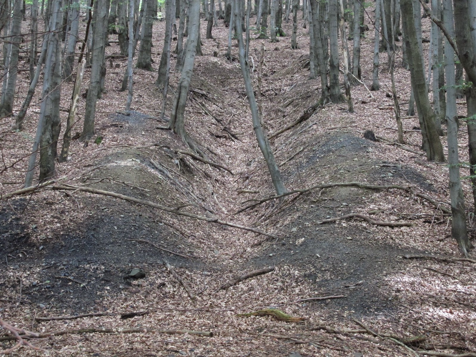
I am continue on older forest road after a while I see glade, with the remains of the heap. At the top end of the glade, is hardly noticeable introductory ditch.


ČMELE II.
ČMELE II. - introductory ditch
On the bottom of the introductory ditch I find something I do not know what is. Curved metal pipe, firmly driven into the ground. Remnant of exploratory borehole?


Again I look to the map and I see that about 300 meters above is the last ČMELE III. adit.

I notice a lot of small erosion furrows. The last three weeks it rained enough. The forest, who was on top, was complet chopped down, so the earth can not retain water. 


I came to a new forest road. Here I noticed theintroductory ditch if adit ČMELE III. Mouth of the adit was probably destroyed during the construction of forest road.


introductory ditch  ČMELE III.

On the bottom of introductory ditch is seen old timbering of adit.


These three adits were each about 200 meters length. The ČMELE I. and II. was mined pyrite and antimony. The ČMELE III. iron ore is mined.


It was just a lunch time, so I ate some bananas and rest myself. 
I decided to walk to the ridge until to the red marked walking trail. 
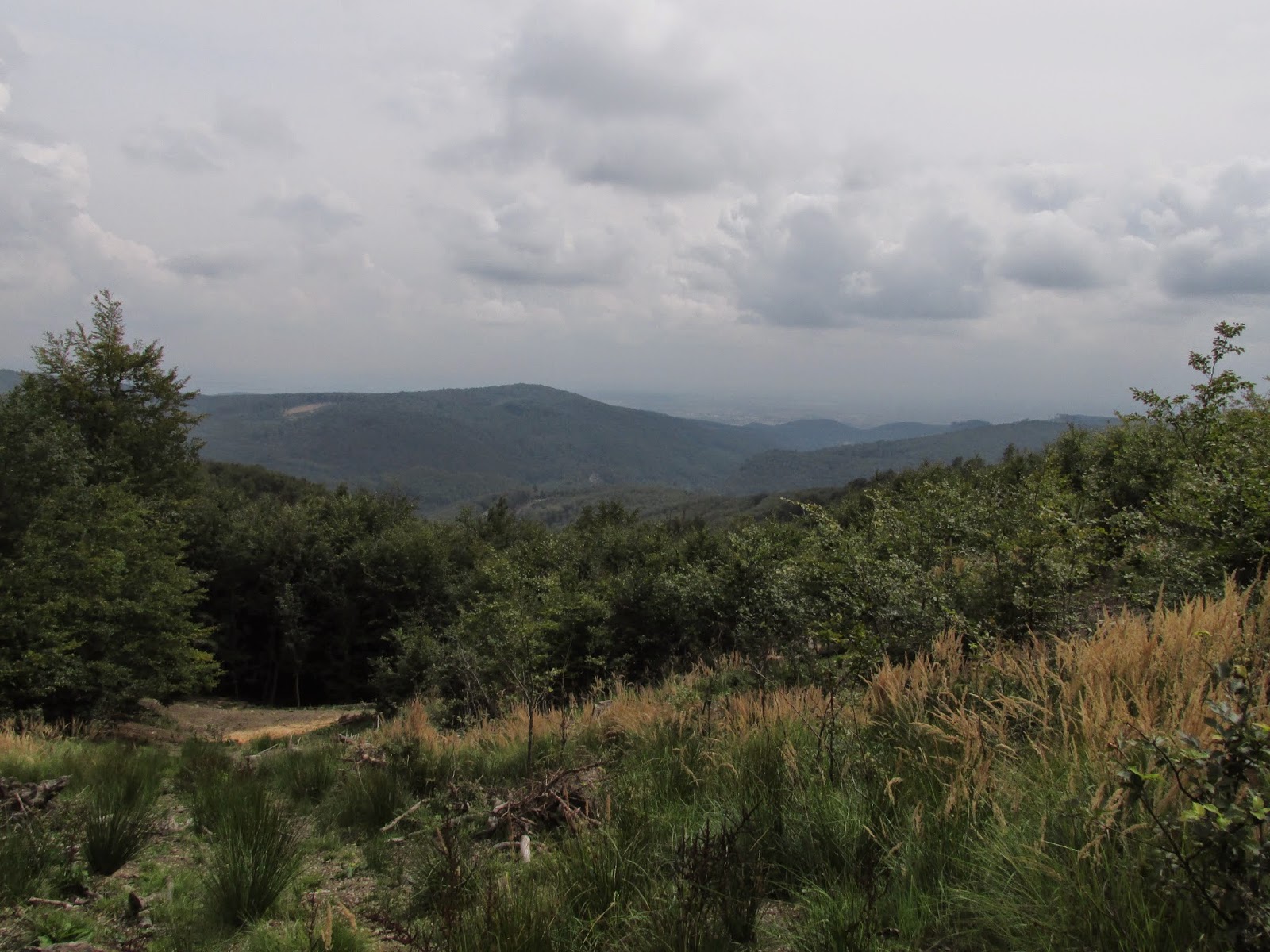
In a glade, were opened to me a very nice views:


Finally trail with red mark. I was just below the final climb to the hill Čmelek.


Here I am trying to figure out which direction to go, to the Pernek's mines. 
I guess I am old, because orientate according to the GPS, I do not know properly. 

I Selected a map and compass. I turn top of map to north, and now I see vats go. From forest paths I don't want any, so I was marching straight through the forest by using compass. 

At first I found, a small heap near adit Martin.


small heaps near adit Martin 
I walking around, but the mouth of the adit I can not find. I'll leave it as,  and  walk down to the adits Upper and Lower Karol.


After 300 meters I see heaps of upper Karol adit.


Horný Karol
view of the introductory ditch and  heap of the adit upper Karol.

Because I went from top, I stand above the backfilled adit collar. I look through the introductory ditch to the heap of upper Karol adit. Right next to the introductory ditch is another nameless adit.

introductory ditch of nameless adit, right next upper Karol adit

From both adits together were mined quite decently big heap.

View from the top of the heap upper Karol

Already on the top of heap I noticed another heap down. This should will adit Lower Karol, so I was running 200 meters down.


I found there at 3/4 backfilled the adit collar of  Lower Karol from which flowing out a strong stream of mining water.

backfilled adit collar Lower Karol
Flowing out mining water, creates wetland.

Flowing out mining water
Under the adit, a heap holds water, which created here a small ferric lake.

heap of adit Lower Karol

When I came up here, so I would like to see the adits Valentin and Florian.
They are located in the next valley. Forest road, which bypasses the hill,  leads there. 

But I did not want bypassing the hill , so I ran up the hill and descended down to the bottom of valley. 

Orientation maps according to not disappoint me again, and I ended exactly on adits Valentine and Florian


adit Valentín
At first I found the Valentine adit. On bottom of introductory ditch is seen whats as mined here.


A little bit next on me I see heap of adit Florian.

heap of adit Florián

Here is a visible amount of mining activities and depressions. 
Now I realize how much is actually hours and the last bus from mountain pass  Pezinska baba I maybe not prosecuted. 
Well I remained nothing but put my fists on nipples and trot to the parking on Pezinska Baba. 
A quick glance into the map, and according contour on the map, I considers that this time, I will not go directly, but rather by the forest road.


Forest road bypasses Mäsiarsky Ostrovec.

Here I've even heard the incoming storm, so I added to run. I caught a bus barely.  I stood in his path (it was 50 m from the stop:-)) 

As soon as I boarded the bus, started the strong downpour from the storm. So it was ultimately very successful day.


Next time I will go to the saddle below Javorinou and from there to "Krížnica" to look at old mines of village Pernek.


Sunday, 5 October 2014

Pyrite mines under the mountain pass Pezinska baba I

In one nice Saturday morning, I choice to look old pyrite mines under "Pezinská Baba" bearings "Ryhová", Augustine and "Trojárová". Morning at 8:10 in Pezinok, I sitting in the train and bus station, on the bus direction to Malacky. In the bus I was buying ticket to the bus stop 46 kilometer. 

After I exiting the bus, I was looking around.  Just above the bus stop is located bearing Kristina. Bearing in view of the small size was insignificant.


opencast mining on the bearing Kristina
After a while I walking to the other side of the road, and about 20m from the road I find a stream of heavily pigmented iron water. I followed the flow upstream and I found source of mine water. Here is actually the mouth of the adit "Nádej".

Spout of mine water has quite powerful stream.
Right next to the spout of water I see either sinkhole to adit or backfilled adit collar.


Right next to the seepage of water I see either adit or sinkhole to adit :

Gallery of hope
The right of the tree is either the mouth of the adit, or sinkhole
I'll be back on the forest road. After about 30 m. you can see the open adit collar.


Tunnel Hermina
Mouth of the adit, according to the position I suppose it's adit Hermina
 I decided to go for a little research. I pick the helmet, headlamp, and a spare flashlight. Since I been in this adit as a young boy with my older brother, so I still remember what it looks like inside.
  
Before I show you a pictures from inside the adit, I would like to warn against entering the old mining works. Without adequate experience and equipment, is movement in underground  extremely dangerous. If someone buys a cheap the headlamp for a few euros, so it's not really appropriate equipment. I've seen a lot of fools who snuck into the ground without a helmet, with the light that shines maximum distance of spittle. This is pure folly.


Corridor tunnel Hermina
Begin of corridor adit


Gallery Table Hermína
After turning right, the corridor extends to about 3m,

In another corner of the corridor, on the left to see the remains of timbering.
Examples limonitovej decorations on the ceiling of the corridor


I come to the end of the corridor, and I am surprised that someone has a need to tag with the spray.

The end of the tunnel, and the spray tag.
I turn back and I go out. After two corners of tunnel, I see the end.
As can be seen, tunnel is relatively dry.

During WW2, the german army used the adit as an ammunition depot.

After exploration adit was going against the flow stream Sedlacek Jarok to the adit Eduard. I walked along the forest path, which follows the route of State Road 503. Adit can be seen from the forest road on the left side.

Adit of Eduard - mouth
Mouth of the adit Eduard
At the mouth of the adit, I removed the backpack, put on helmet, light and go to inside. The hole is slightly smaller, but it can be quite comfortable. According to the information that I should  is it a short  tunnel  about 20 m. of length.

Hallway gallery Eduard
Eduard adit
The adit is really short, at the end of the corridor are already known tag.

Eduard tunnel, the end of the tunnel.
I am turned and went out.

Exit of the tunnel Eduard

After being pulled from the adit, to decide whether to continue upstream creek, or go back and try to find an old adit Upper and Lower Michal and Anton. 
I decided to return the piece back to the adit "Nadej".

While looking around, I found an old access road to the mines Anton,  Upper and Lower Michal.


Old mining road
Old road

At the end of the old road I find traces of the heaps. I was running down to the brook. After a moment,  I found the introductory ditch of adit Anton.Ditch, but ends up in the body of state road no. 503

Anton tunnel - introductory groove
Introductory ditch of adit Anton
Not far below the introductory ditch is a heap of adit.
Heap tables - Anton
Heap of adit Anton
Near the adit Anton, to my knowledge, would been adit Lower Michal. So I am looking for classic signs of old adit. Simply I am observing the terrain, and I was looking for signs of activity, which is evidently the work of a human. After a few moments I notice the introductory ditch on the adit.


Backfilled mouth of adit Lower Michal

So little bit higher should be located adit Upper Michal. After a while the search I found it.

And this is Upper Michal

In the vicinity are visible traces of mining activity. Heap, depressions, etc.. 

While I'm here, I remembered on the adit Ruml, which should be on the opposite side of the road no. 503 to mountain pass Pezinska baba.
  I decide to look for it.  Go to the other side of the road was quite a problem, because it was a nice day, and motorbikers were abound. (motorbikers here likes driving on winding road up the hill)


After about 100 m I found the mouth of the backfilled adit Ruml.

Štôlňa Ruml - ústie
Adit Ruml
Basically, I went back to the bus stop 46 kilometer. 
I was Deciding what to do next.  I told myself, that I will go against the flow stream "Sedlackov Jarok" and try to find adit Fisher. 

I leave on my left hand adit Eduard, and I continue through the valley. 
After a while I found a  hunting high stand.
Before high stand, hunters were put a rock salt to attract deers. 
I do not like it, so I continue.


On right I see sinkhole:


Prepadlisko do štôlne


Around seen traces of quarrying. On this moment  I thinking that I would look  the status shaft KRH.

Again I will try adrenaline sports, when I  went take place on the other side of the road.
On a small parking lot in the corner are a few cars of mushroom pickers. Each picker went forest path, in which on the right of the road is open shaft KRH.

Šachta KRH
Shaft KRH
The shaft is a makeshift fenced with old netting. Of course possible fall into the shaft would be dangerous.

I  spend  a little time here, and again I ran across the road into the valley Sedlacek Jarok.  I'm going against the flow stream to the end, where is repaired body of road 503. 
Here should be somewhere Ficher adit.

After a while of searching I found barely noticeable mouth of adit.

Štôlňa Fischer - ústie
Mouth of the adit Ficher with garbage. Above the mouth is the route.

Below the mouth of the adit is the brook, which has iron oxide color, probably from upstream deposits Augustine and Trojárová

Ferruginous water under a adit Ficher.

I watch what time it is and I decided to go on the Trojárová adit, but more on that next time.